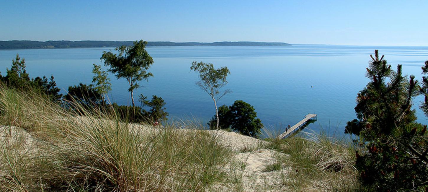
| When Hvidbjerg Klit was created, big parts of Denmark were covered by a warm and deep ocean. The land was clad in recognizable plants such as beech-, oak- and birch trees, but also exotic mangroves, swamp cypresses, sequoias and palm trees. An environment where also crocodiles thrived. We are talking 22 million years ago. It was a different country back then. Denmark had a different coastline and a much warmer climate. The average temperature was 19 degrees celcius. Hvidbjerg Klit, which in geological terms is a cliff, was formed as part of a series of spits with lagoons in between them, south east of a big delta situated where Billund is today. Back then, just like today, Denmark was situated in a primarily westwind belt, which meant that the sediment travelled towards southeast. The spits also developed in that direction over the years, and it’s one of these spits, that separated the lagoon from the ocean, which is now exposed at Hvidbjerg, and that makes Hvidbjerg Klit a unique geological phenomenon. Hvidbjerg Klit is 34 meters high, and it’s the bottom 22 meters that are created in this particular way. The bottom of the cliff has been undisturbed for 22 million years. The sand in the cliff is divided into different layers, almost like year rings in a tree. Every layer equals a violent storm, which resulted in depositing of sand. The top 12 meters of the cliff are deposits from the last ice age. The beautiful nature makes the stretch from Mørkholt to Høll a popular destination during summertime. Here you will find an abundance of summer houses, camping grounds, parking spots and shopping opportunities. The big white sand cliff is divided into Store and Lille Klit. From the top of Hvidbjerg Klit there is a fantastic view of the wooded Trelde Næs and the outer part of Vejle Fjord. Hvidbjerg is also the name of the surrounding summer house- area and a popular beach. | 